
When embarking on a property development project, whether it’s a residential construction, a commercial development, or land subdivision, one of the most essential steps in the planning process is conducting a topographic survey. A topographic survey provides detailed information about the natural and man-made features of a plot of land, which can greatly influence design decisions and regulatory compliance. This article explains why topographic surveys are crucial for New Zealand property developers, and how they can help ensure a successful and efficient development process.
What is a Topographic Survey?
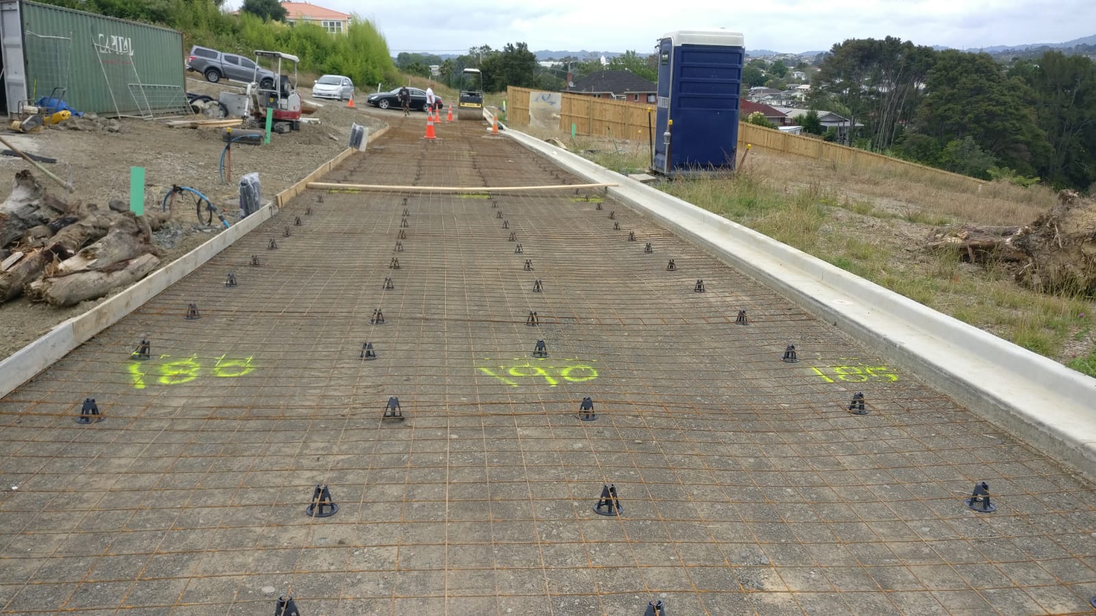
A topographic survey is a detailed survey of the features of a piece of land. It maps out natural features such as elevation, slopes, streams, and vegetation, as well as man-made features like buildings, roads, utilities, and boundaries. This survey is essential in helping developers, architects, and engineers understand the lay of the land before starting a project.
In New Zealand, where geographic and environmental conditions vary significantly across regions, having a precise topographic survey can save significant time and resources during the planning and design stages. Whether you are building in a coastal area, a rural setting, or an urban environment, a topographic survey provides critical information to guide the development.
Key Benefits of a Topographic Survey
1. Informed Decision-Making for Design and Planning
One of the primary benefits of a topographic survey is that it allows developers to make informed decisions about their project. By understanding the exact elevations, contours, and features of a property, developers can design a building or development that integrates seamlessly with the land.
For example, knowing the slope of the land can affect decisions related to drainage, foundation design, and landscaping. Similarly, identifying natural features such as trees or streams can inform whether these elements should be preserved or integrated into the overall design.
2. Avoiding Legal and Compliance Issues
Topographic surveys are crucial for ensuring that your project complies with local zoning regulations, building codes, and environmental restrictions. In New Zealand, many local councils have strict regulations regarding land use, especially when it comes to managing natural resources and preventing damage to the environment.
A topographic survey helps developers understand whether the land can accommodate the planned project without infringing on any local laws or regulations. It can also help with resource consent applications, making it easier to navigate the approval process. For instance, if the site lies in a flood-prone area, the survey may provide insights on how to address these challenges in the design to meet safety standards.
3. Efficient Resource Allocation and Cost Management
Having detailed information about the land can also help with more accurate cost estimations for the project. A topographic survey can identify potential obstacles such as uneven ground, watercourses, or the need for land clearing, all of which can affect construction costs. By identifying these challenges early on, developers can plan and budget accordingly, avoiding unexpected expenses during the construction phase.
Additionally, accurate surveying helps ensure that resources are used effectively, avoiding waste and delays. For example, knowing where utility lines or existing infrastructure are located can prevent costly disruptions during construction.
4. Improving Project Accuracy and Reducing Risk
A topographic survey minimizes the risk of errors and delays during construction. By providing accurate, up-to-date data, the survey helps engineers and contractors create plans that are precise and realistic. This reduces the chance of mistakes during construction and ensures that the final project matches the original design.
Furthermore, a topographic survey helps identify any potential hazards, such as unstable soil or nearby natural hazards like flood zones or earthquake-prone areas, enabling you to take the necessary precautions before proceeding with the build.
How to Conduct a Topographic Survey in New Zealand
1. Choosing the Right Surveying Firm
To get the most accurate and reliable topographic survey, it’s essential to choose a professional surveying firm that is experienced in the New Zealand landscape. A reputable surveying firm will use advanced tools such as GPS equipment, total stations, and drones to gather accurate data.
If you’re looking for professional surveyors for your topographic survey in New Zealand, consider contacting Auckland Land Surveys for expert advice and comprehensive surveying services. They offer a full range of surveying services, including topographic surveys tailored to the unique needs of your property development project.
2. Survey Process Overview
The topographic survey process typically begins with an initial site visit, where the surveyor gathers data on the land’s features. This may include measuring elevations, locating boundaries, mapping structures, and noting natural features. The surveyor will then process this data and create a detailed map or digital model of the land.
Once completed, the survey data will be provided to the client, usually in the form of a topographic map, which is used as the basis for all further design and planning work.
Conclusion
A topographic survey is an invaluable tool for any property development project in New Zealand. It provides essential information about the land’s natural and man-made features, helping developers make informed decisions, comply with local regulations, and manage project costs effectively. Whether you’re building in a challenging environment or simply looking to ensure your development goes smoothly, a topographic survey should be one of the first steps in your planning process.